
McHenry Previous Residents by Era
A McHenry address has several timelines. Current tax and parcel records establish the present PIN, site address, owner role, and legal description. Recorder instruments can carry that legal identity back through sales and other filings. For the people who occupied a place, not just those who held title, local directories, telephone books, census schedules, newspaper files, and obituary indexes provide dated clues. The farther back the search goes, the more important the parcel description, township, road, river, and historic place names become.
| Source | Years It Covers | Where Held | What It Shows |
|---|---|---|---|
| Recorder AVA index | 1839 to current search date | McHenry County Recorder | Parties, instrument dates, document numbers, parcels, and legal descriptions |
| Survey maps and atlases | 1837–1839, 1862, 1872, 1892, 1908 | MCHS, libraries, Library of Congress | Tracts, roads, water, landholders, and settlement labels |
| City and criss-cross directories | 1914, 1922, 1935; telephone books from 1948; Haines from 1977 | Woodstock and McHenry libraries | Dated names, addresses, family or trade fields, and reverse-address entries |
| Federal census | Public schedules through 1950 | National Archives and library databases | Households and relationships under the 72-year release rule |
| Historic imagery and plats | 1939, 1967, and selected 2005–2026 imagery | County PlanDev and local collections | Buildings, parcel change, subdivisions, roads, and land-use context |
For a recent transfer, start with wEdge and the Recorder. For a mid-century occupant, ask for telephone or Haines volumes and compare them with a public census year. Before street addresses became stable, use the survey, landowner map, atlas, deed, and newspaper together. A map label alone does not prove title, and a deed alone does not prove that every owner lived on the land.
Walk McHenry's Deed Chain Backward
The McHenry County Property Tax Inquiry can turn a current street address into a PIN and legal description. Carry those identifiers into the Recorder AVA index. AVA covers 1839 through the current search date, with a stated seven-day data lag. Its free search supports party, date, document number, book and page, address, subdivision, parcel, and tract modes. Images were disabled in the inspected free interface, so an index result may need a copy through Tapestry, Laredo, the Recorder's copy service, or the office.
- Find the current parcel in wEdge and save its PIN, site address, township, and complete legal description.
- Search AVA for the latest deed tied to that parcel or current grantee, meaning the person who received the property.
- Record the instrument number, date, document type, grantor, and exact legal description. Confirm them against the recorded copy.
- Search that grantor as an earlier grantee. Repeat while checking plats, trusts, estates, tax deeds, and boundary corrections.
- If an index path breaks, use Laredo or Tapestry, request a copy, or inspect the physical index and deed books in Woodstock.
- Grantor and grantee
- The grantor transfers an interest; the grantee receives it.
- Chain of title
- The linked series of recorded transfers for the same land.
- Legal description
- The recorded description of the tract, lot, or subdivision. It is more durable than a street label.
Map McHenry Before Street Numbers
Early McHenry property work begins with land, not a modern house number. McHenry County Historical Society identifies surveyor maps from 1837–1839 and county atlases from 1872, 1892, and 1908. The Library of Congress 1862 landowner map adds named landholders and settlement geography. These sources can place an old road, watercourse, section, or broad tract before the present street grid existed.
A historical name on a map is a lead, not a current ownership fact. Compare the map's date and scale with a deed, plat, or legal description. The city history uses Gagetown or West McHenry and Centerville or Riverside as older place terms. Searching those terms may recover newspaper and map references that a current address misses. McHenry was also the county seat until 1844, when that role moved to Woodstock, which helps explain why city history and county title records now sit in different places.
Note: Record the map year, sheet or page, repository, and exact place label before connecting it to a present parcel.
See McHenry Parcels Change
The county's PlanDev map offers a rare dated bridge between old maps and current parcels. Its basemaps include imagery from 1939 and 1967, followed by views from 2005 through 2026. Layers add parcel and address labels, subdivisions, existing and planned land use, streams, flood areas, wetlands, watersheds, and topography. Comparing the same PIN in two dated views can show when a field became a subdivision, a road appeared, or a building footprint changed.
The image does not identify previous residents. Pair it with a plat and Recorder document before describing ownership or a subdivision change. If the street label changed, follow the PIN and legal description instead. No verified McHenry renaming or renumbering crosswalk was found, so a supposed old-to-new street match must be checked against the city maps, the directory street index, and the parcel record.
McHenry Previous Residents in Directories
Directory evidence fills the gap between title and occupancy. Woodstock Public Library identifies digitized directory volumes for 1914, 1922, and 1935, telephone directories from 1948, and Haines Chicago Far North Suburban Criss-Cross books from 1977 forward. A criss-cross directory reverses the usual name search: it groups entries by street address, which makes it useful for asking who lived here before. Exact shelf coverage should be confirmed with library staff.
The digitized 1914 directory shows the kind of dated source that can anchor a comparison.
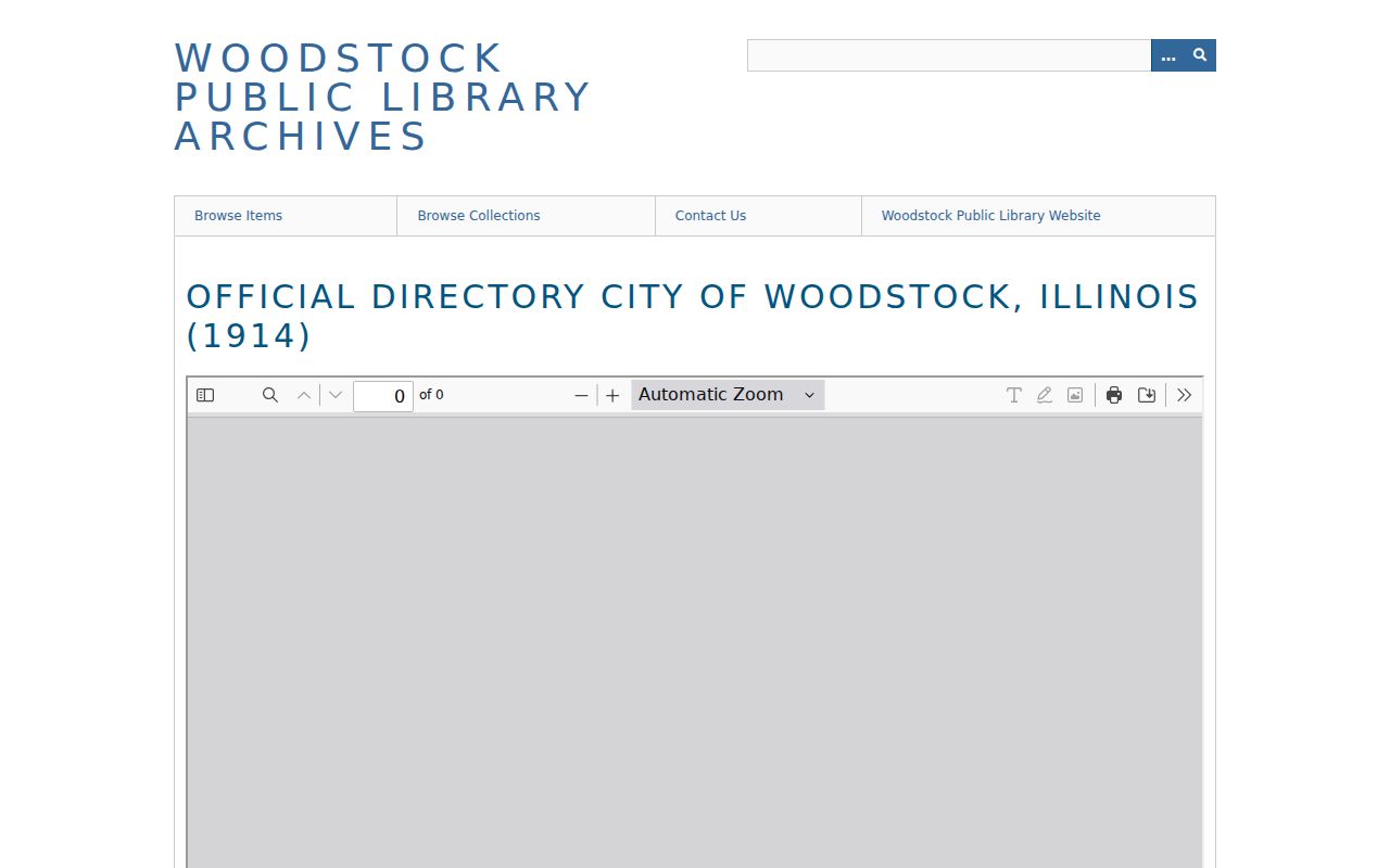
Its archive description includes citizen and street directories, addresses, trades or businesses, telephone numbers, and civic material. Use field patterns and page citations rather than copying personal entries. The full historical shelf belongs on the McHenry city directory collections page; for an address trail, compare only the years needed.
Newspapers Name McHenry Households
McHenry Public Library's Plaindealer microfilm begins August 11, 1875 and continues through later Northwest Herald film to April 30, 2012. Its local-history holdings include town histories, plat books, cemetery, census, obituary, and family indexes. A street address, former owner, business name, or historic area term can lead to a sale notice, social item, building event, obituary, or civic report.
The McHenry County Historical Society research library adds more than 20,000 death notices, biography and community files, photos, oral histories, maps, newspapers, and local organization papers. It is open by appointment, and its deeper research service is listed at $30 per hour with a six-to-eight-week estimate.
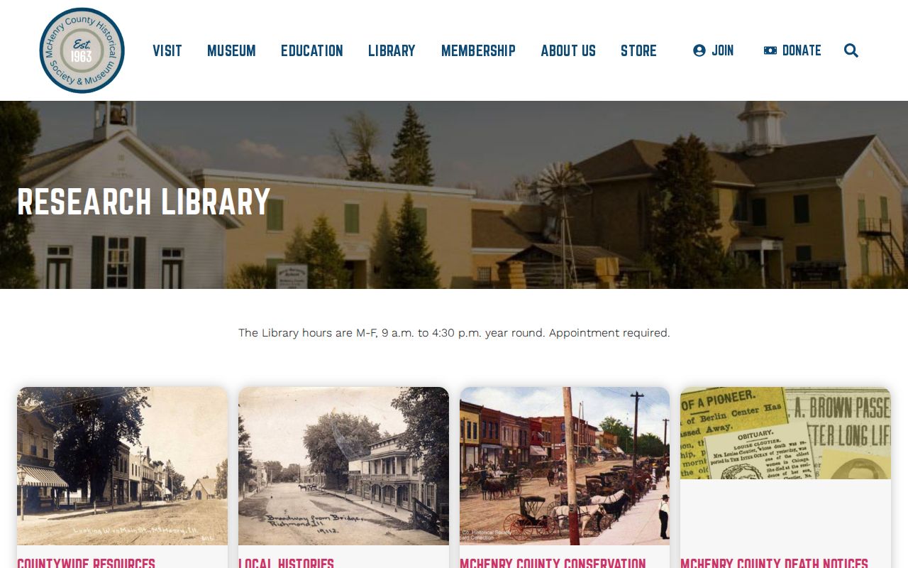
The collection can supply a dated endpoint for a former occupant, but an index hit should lead to the cited notice or file. Keep the title, issue date, page, and repository with every finding.
Pair McHenry Directories With Census
A directory gives a snapshot between federal census years. The National Archives explains the 72-year release rule, which currently makes schedules through 1950 public. The useful method is a controlled time sequence, not a broad name match.
- Choose a dated directory entry and record its address exactly as printed.
- Find the nearest public census year and confirm the city, township, street, and household.
- Compare the next directory year for a move, spelling variant, added family member, or changed trade.
- Use an obituary or newspaper notice to explain a disappearance, then verify the source date.
A census enumeration district is the area assigned to one census taker. When house numbers are missing or changed, district maps and nearby households can help locate the right page. They do not prove that the same person remained at the address between enumerations.
Two McHenry Record Centers
McHenry's years as the county seat ended in 1844. Today, municipal maps, permits, minutes, and city records remain with McHenry, while the Recorder, county archives, and many historical collections are centered in Woodstock or elsewhere in the county. This split is practical, not merely historical. Searchers may need the City Clerk or Community Development for an address file, the County Recorder for instruments, Woodstock Public Library for directories, and MCHS in Union for maps and vertical files.
The Recorder accepts online index work, expanded account or copy routes, and office research. Libraries provide catalog, digital, microfilm, telephone, and in-person help. MCHS accepts an Ask Us form and appointment research. These channels matter when a portal lacks an image, a volume is not digitized, or an address appears only in a street file.
Verify McHenry Past Residents Carefully
Owners are only part of an address history. A directory or census may name an occupant who never appears in the deed chain. An obituary can identify relatives or a prior home, while a probate or vital index may confirm a date. None should be merged into one life story unless the names, dates, place, and relationships agree. Common surnames require extra care.
Date-stamp each result. A 1914 entry proves only what that edition reported, not later residence. Note whether the source is an index, image, certified copy, newspaper assertion, or map label. For restricted vital material, follow the County Clerk or Illinois Department of Public Health eligibility route rather than treating it as ordinary FOIA material.
Lawful use. Research previous residents for house history, genealogy, and personal curiosity. Illinois law prohibits stalking and harassment, including misuse of public details to track a living person.