
McHenry ZIP Directory Coverage
Official local evidence identifies two ZIP codes for McHenry postal service: 60050 and 60051. The McHenry County Sheriff's civil-process table lists both under McHenry. City Hall uses 60050, making it the clearest core-city code in the inspected sources. The evidence does not define exact ZIP borders or prove that every address carrying McHenry as its postal place lies within city limits.
| ZIP Code | Areas Covered | Post Office | Notes |
|---|---|---|---|
| 60050 | Core McHenry postal evidence, including City Hall | McHenry Post Office, 4530 W Crystal Lake Road | Verify each full address with USPS; municipal edge is separate |
| 60051 | McHenry-area postal service listed by the Sheriff | No separate retail station confirmed | May include postal-place coverage beyond city limits |
No official ZIP split year, ZIP-specific population table, PO-box-only code, unique institutional code, or complete neighborhood crosswalk was found for McHenry. Those gaps should remain visible. The two-code list is useful for routing a search, but USPS controls delivery assignments and can return a more precise ZIP+4 for a complete address.
Validate a McHenry Postal Address
The USPS ZIP Code Lookup is the authority for address-level postal validation. Enter the full house number, street, unit when applicable, city, and state. Preserve both the raw wording supplied by the user and the standardized USPS result. A directional, suffix, suite, or ZIP+4 can change delivery details even when the broad five-digit code stays the same.
The captured USPS interface is the correct starting point for that check.
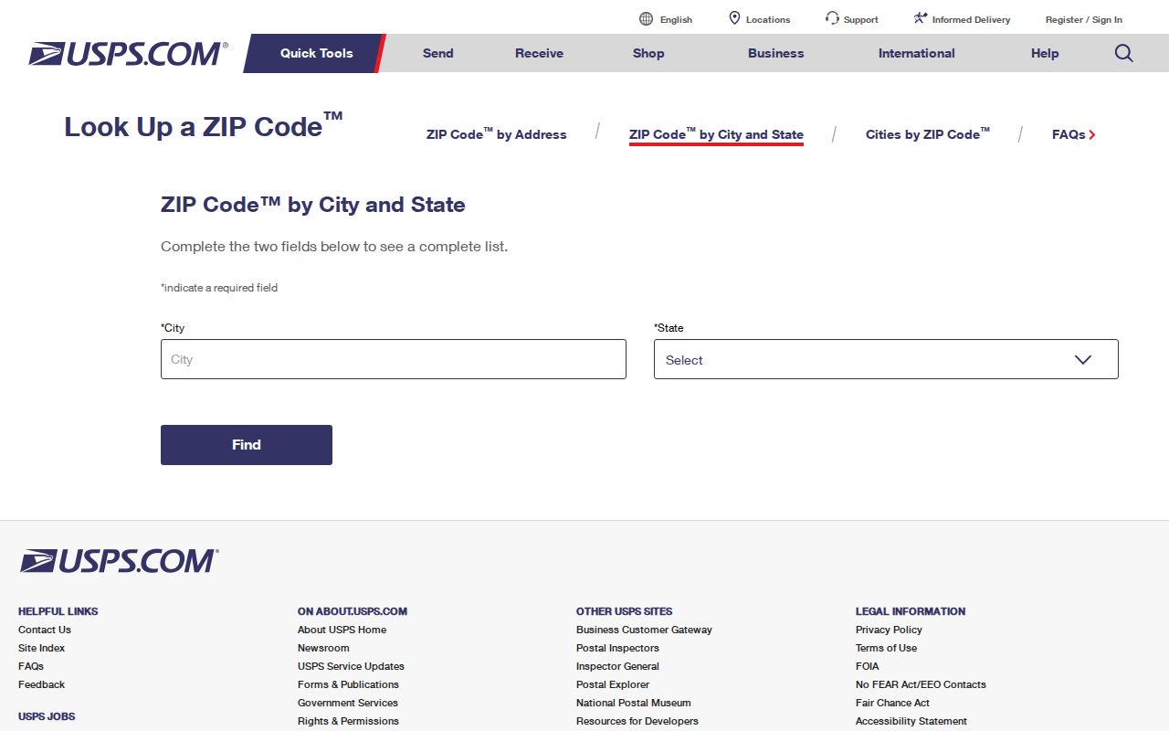
When the form returns no result, confirm abbreviations and unit details before changing the city name. A rural route, private road, new address, or boundary-edge location may require direct USPS help. Do not fill the gap with a national ZIP database whose place label may be broader than McHenry's municipal area.
McHenry Post Office Evidence
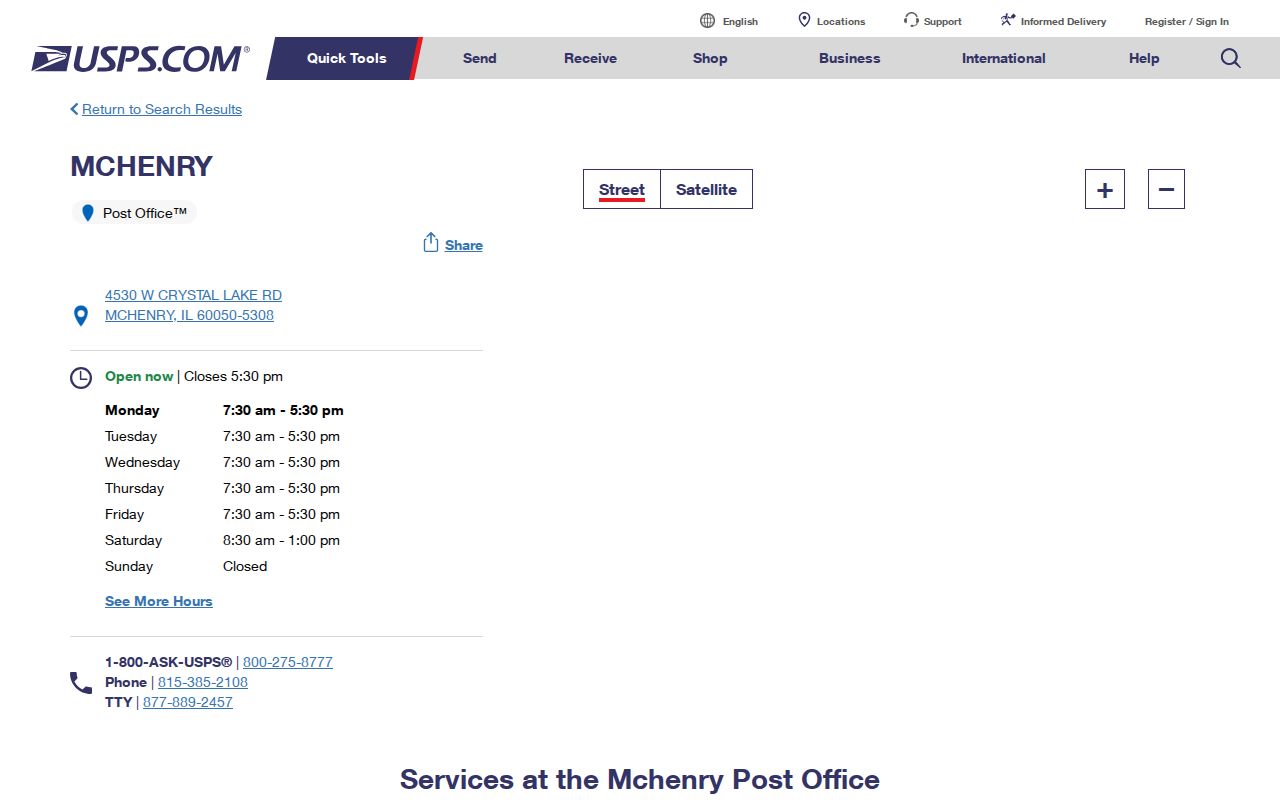
The official McHenry Post Office listing places the retail office at 4530 W Crystal Lake Road, McHenry, IL 60050-5308. That address supports 60050 as a McHenry postal code. It does not establish the full delivery border for the city, nor does the lack of a separately confirmed 60051 retail station erase 60051 from the Sheriff's official service table.
The USPS location page provides a useful second source for the office itself.
Two McHenry ZIPs, Many Boundaries
A ZIP code is built for mail delivery, not local government. It cannot prove a McHenry city boundary, ward, township, voting precinct, tax district, school district, fire district, or current residence. This is the central local ZIP myth. Both 60050 and 60051 appear in an official McHenry service table, yet a record search still needs a city map, parcel map, or district source to answer a civic question.
Boundary check. Compare the USPS result, McHenry municipal map, and McHenry County parcel map as three separately dated sources.
Postal place names often extend outside incorporated limits. Conversely, a site near a city edge may use a mailing label that does not match its government jurisdiction. Keep that distinction in every result card, especially when the search concerns taxes, permits, elections, or recorded land.
Find McHenry Residents by ZIP
Official systems do not offer one downloadable roster for everyone in 60050 or 60051. Instead, validate a known address or person through the source that fits the question. USPS confirms postal form. County property systems connect a site to a parcel. The State Board of Elections confirms one person's registration only after exact identity and address fields are supplied.
- Verify the complete address with USPS and save the standardized five-digit code and ZIP+4 when returned.
- Search wEdge by house-number range, street, and city, then retain the parcel PIN and returned site address.
- Compare the parcel in Athena or PlanDev for city, parcel, and district context. Do not infer those layers from ZIP.
- For a voter confirmation, enter the person's name, birth date, five-digit ZIP, street number, and the form's street choice.
Once the postal area narrows to a known road, the McHenry street directory provides the full street-level workflow. Keep a ZIP-wide inquiry and a named-address search separate.
McHenry ZIP Search Fields
Each portal handles ZIP differently. The county wEdge Address tab has no standalone ZIP field in the inspected interface. It searches a low and high house number, street name, and city, so the ZIP must be checked after a parcel result appears. Recorder AVA does offer a ZIP field within its advanced address criteria. The election form requires ZIP before it displays its street list, but only for an individual match.
| Official source | ZIP behavior | Other fields | Result limit |
|---|---|---|---|
| wEdge tax inquiry | No standalone ZIP on Address tab | Low/high house number, street, city | Parcel and tax record, not a ZIP roster |
| Recorder AVA | ZIP available in advanced address criteria | House number, street, city, party, parcel | Recorded instrument index; seven-day lag noted |
| Illinois SBE | Five-digit ZIP required before street stage | Name, birth date, street number and name | Exact voter confirmation, not area list |
| ISP registry | ZIP is one geography filter | Name, city, county, status and radius | Specialized registry, not resident directory |
IDFPR's inspected license form uses city, state, and county rather than ZIP. These field differences are why a McHenry ZIP code directory must explain the key accepted by each official system instead of promising one universal search.
Note: AVA can lag new recordings by seven days, so a very recent instrument may not yet appear in its free index.
Keep McHenry Address Types Separate
One parcel can produce three useful address strings. The situs address is the physical site shown by parcel and map tools. The tax mailing address is where tax correspondence is sent. The USPS address is the standardized delivery form. They may match, but they do not mean the same thing. A post-office box can use a different code from the physical site.
A county PIN is also not an address. The observed McHenry County format uses ten digits and is commonly displayed four-two-three-three, such as 14-27-478-001. The parcel's legal description may rely on subdivision, lot, block, section, township, range, or metes and bounds and may omit the postal city name. Preserve the source's exact wording.
Route McHenry ZIP Records Correctly
McHenry city offices and McHenry County offices sit in different places and hold different records. City Hall at 333 S Green Street, McHenry, uses 60050 and handles municipal maps, permits, licenses, ordinances, agendas, and city FOIA. The county Clerk, Recorder, and assessment functions are based in Woodstock at 667 Ware Road, ZIP 60098. The Circuit Clerk is at 2200 N Seminary Avenue in Woodstock.
A McHenry mailing name does not transfer a county record to City Hall. Send parcel questions to county assessment or GIS, recorded-instrument questions to the Recorder, voter and vital questions to the County Clerk, court-file questions to the Circuit Clerk, and municipal permit questions to McHenry city staff. Correct routing saves time when an online ZIP search cannot answer the actual question.
McHenry ZIPs Versus City Limits
No official ZIP-boundary GIS layer or complete McHenry municipal-boundary crosswalk was found in the source set. Resolve a disputed address with three tools: USPS for postal delivery, the city map for incorporation and wards, and McHenry County Athena or PlanDev for parcel and district context. Cite each answer separately. None should be stretched beyond its purpose.
- ZIP and ZIP+4
- A ZIP identifies a broad delivery area. ZIP+4 narrows delivery to a smaller segment, such as one side of a block or a group of units.
- PO-box ZIP
- A code or segment used for post-office-box delivery, which may differ from the physical site's code.
- Unique ZIP
- A postal code assigned to one high-volume organization. No McHenry example was confirmed in the research.
- Carrier route
- A postal delivery path within a ZIP, not a municipal, voting, or parcel boundary.
Historical McHenry research may also use place terms that predate modern ZIP codes, including Gagetown or West McHenry and Centerville or Riverside. Search those names in old newspapers, maps, and directories, but attach the year and source. Do not force a modern postal code onto an older place reference.
Date Every McHenry ZIP Result
Postal assignments, parcel data, voter matches, and recorded instruments update on different schedules. A clear ZIP code directory result states the source, the full search key, the date checked, and the limitation. For 60050 and 60051, the local evidence is the Sheriff's service table plus official McHenry addresses; the individual address still needs USPS confirmation.
Do not infer an occupant from a ZIP, a parcel owner from a mailing label, or a ward from a postal city. If the source does not expose a needed filter, use its counter, contact route, or formal records request. That is more accurate than building a broad McHenry-area list from records created for unrelated purposes.